What you can do
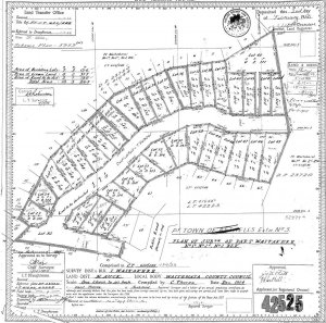
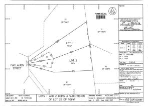
Firstly you need information about the dimensions of your property. A copy of your title and survey plan will have that information.
Order a copy direct from Land Information NZ here with your street address and/or Legal Description (from your rates bill).
Interpreting your plans
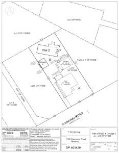
If your title is for a Cross Lease or Flats plan click here
If your title is for a Unit Title contact us
If your title has the words “Limited as to Parcels” at the top you will need to contact us
Usually each boundary on a survey plan will have a bearing and distance next to it. If your plan is more recent than 1972 the distance will be in metres. If your plan is older than 1972 it will be in links.
Click here to convert links to metres, feet to metres or acres to hectares.
Finding your Pegs
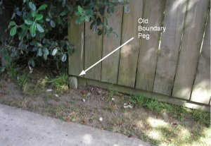
In town, fences are usually reasonably close to the boundaries. Start by carefully digging around a corner post. Remember the peg is probably older than you, so be careful not to destroy it or disturb it.
Measuring between fences and checking against the plans will provide a good estimation of the accuracy of the fences.
Note all measurements are to be horizontal, NOT along the slope of the ground.
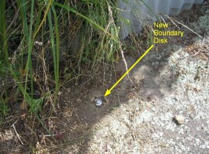
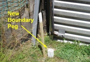
These are the types of marks you are looking for:
If pegs are missing, or you are uncertain if they are in the right place, they can only be checked or replaced by a Licensed Cadastral Surveyor.


